
Start with the landscape
Create a blank project. Draw land and water areas to establish the shape of the place. A shoreline or river gives the street layout something to respond to; you can also start on an open canvas.
MapCity is a map-drawing tool for creating and editing cities. Draw streets, buildings, land, water, and boundaries as objects you can reshape. Start with a blank map and work from the broad layout down to individual blocks.
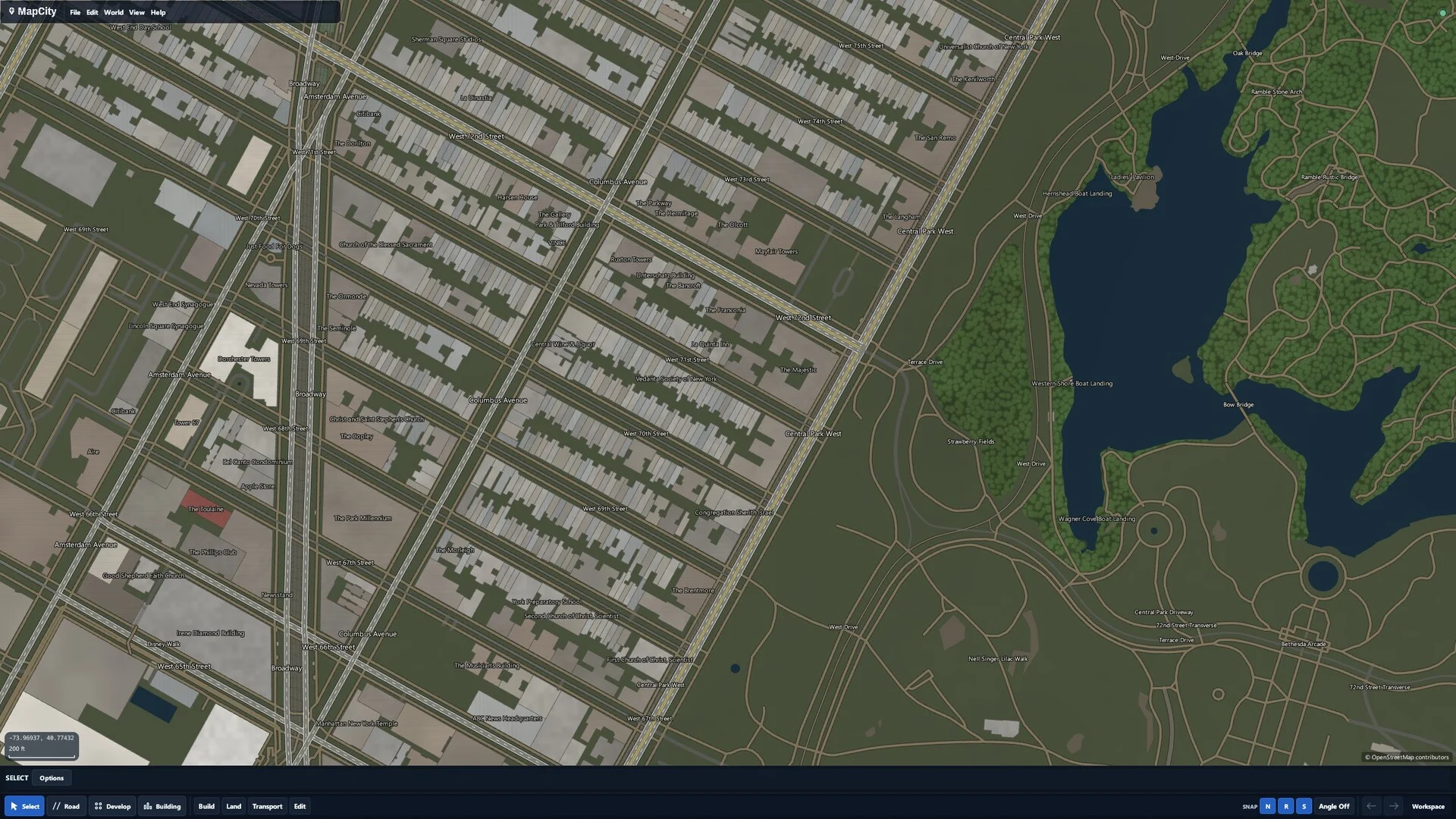
Begin with a small area that has a clear purpose: a town center, a waterfront neighborhood, or a few residential blocks. This gives you room to experiment before extending the map.
Create a blank project. Draw land and water areas to establish the shape of the place. A shoreline or river gives the street layout something to respond to; you can also start on an open canvas.
Draw the main routes first, then connect smaller streets. Use snapping and curves to control connections and bends. Pan and zoom to check both the block pattern and the larger network.
Place buildings by hand for a specific composition, or preview a development layout to generate editable roads, parcels, and buildings. Adjust the result rather than treating it as a finished map.
Adjust themes, layers, and draw order to bring the relevant details forward. Inspect the map at different zoom levels, then reshape or remove objects where the layout needs work.
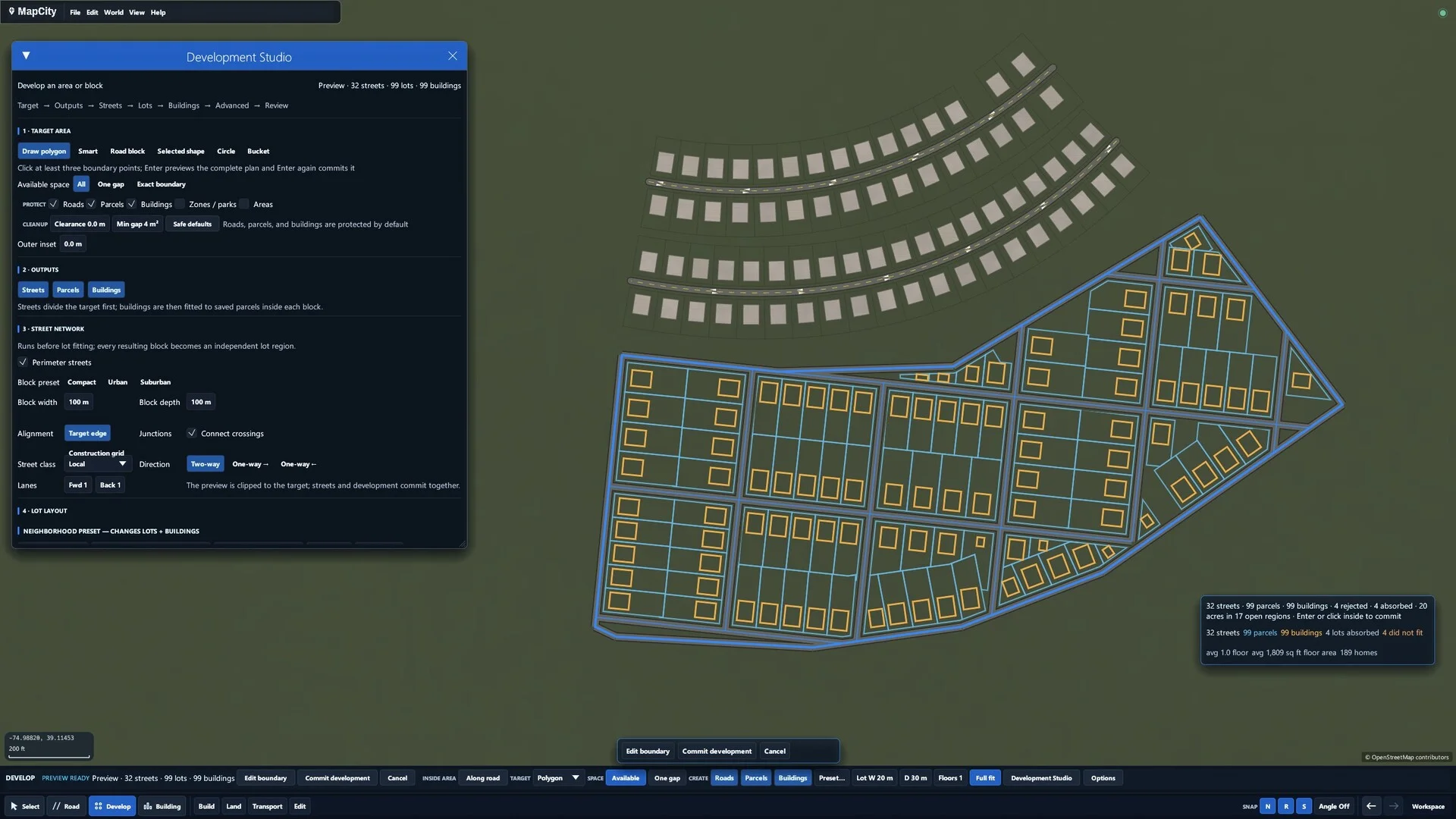
A road or building is something you can select and change. Move objects, reshape them, duplicate a useful element, or delete a section to try another arrangement.
That makes it possible to revisit a map as your idea changes. A regular grid can gain a curved edge, a town can grow around a new road, and a neighborhood can be reworked block by block.
For the broader creative experience, see MapCity's city-building sandbox.
MapCity combines a city-building sandbox with a top-down map editor. Its focus is making and reshaping places, rather than providing professional GIS analysis or an online mapping service.
You can use the blank-map workflow without installing optional map-data DLCs. The images here demonstrate the 2D editing experience; they are actual MapCity screenshots.
No. MapCity is a desktop game and creative map editor. This website introduces the tools; drawing and editing take place in MapCity on your computer.
Yes. Roads, buildings, land, water, and boundaries remain editable objects. Select, reshape, duplicate, or delete them as you revise the map.
MapCity is coming soon to Steam for Windows. Mac support is planned for the near future. It runs on your computer, rather than in your browser. See Steam for current release information and system requirements.
Wishlist MapCity on Steam to follow its release.
Wishlist on Steam